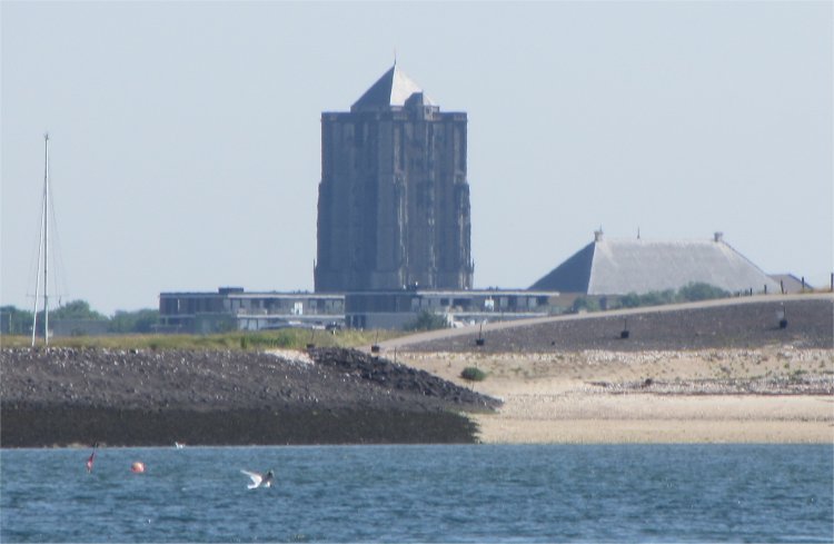
 Zierikzee Sint-Lievens Monster Tower from the Oosterschelde |
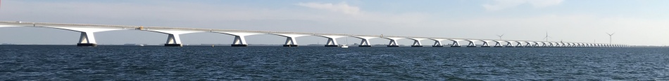 View of Zeelandbrug |
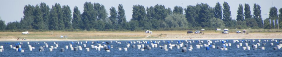 Just Part of a Giant Mussel Farm |
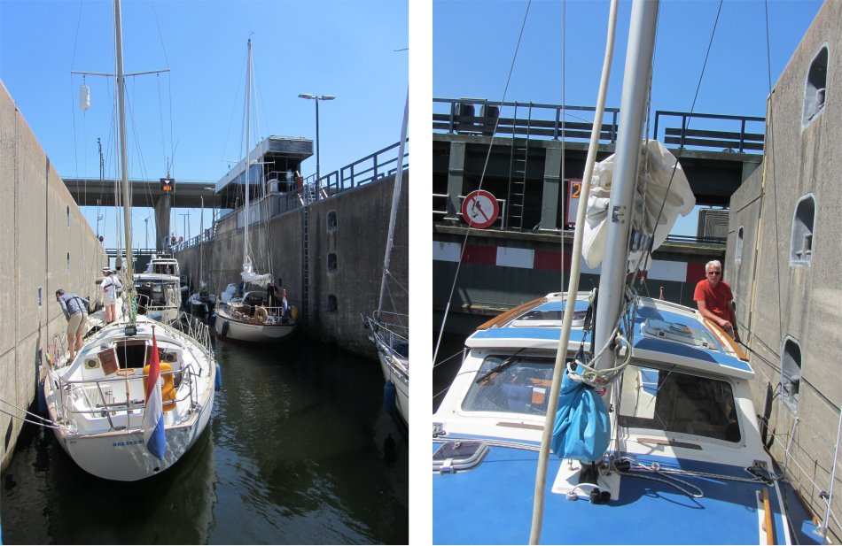
 Approaching the Krammersluizen |
The Krammersluizen separates the salt water of the Oosterschelde from the fresh water of the Volkerak. The locks were part of the Deltaworks project and officially opened in 1987. The locks for inland shipping are 280 meters long and 24 meters wide, so they are suitable for large pushers. A second lock for pleasure craft was opened in 1994. Because of the need to prevent an exchange taking place between fresh water and salt water, the locks are technically complicated. The locks are therefore designed so that no salt water flows into the Volkerak and just a small amount of fresh water enters the Oosterschelde. The operation simply applies a fundamental law of physics, denser salt water sinks to the bottom of a lock while the less dense fresh water floats on top. By deploying a complex system of pipes and pumps, salt water from below is pumped out, or from above fresh water is pumped out, depending on the destination of the ship.
Once through the lock we made our way up the Volkerak, opting to follow the very narrow north channel around Noordplaat island. Again, there were numerous barges streaming along the Volkerak. As during previous times when we sailed up this stretch of water, thousands of swans paddled in the shallows. As we approached the Volkeraksluizen, two barges entered the same yacht lock. As we gently nudged in, I spotted an electronic sign stating that the Haringvlietbrug would be closed for repairs until the 1st November. Drat, that really had dashed our plans.
The Volkeraksluizen allowed us access to the Nieuw Hollands Diep. The first two inland locks were put into operation in 1967. It soon proved to be of insufficient capacity, with long waiting times as a result. In 1977 the complex was expanded with an additional lock for inland and a separate recreation lock for yachts. In addition, even an inlet sluice constructed. The waterway is an important link in the Scheldt-Rhine Canal, providing the only shipping route between Rotterdam, Antwerp and Germany. The locks are the largest inland locks in Europe and on the basis of passing tonnage (over about 240 million tonnes), the largest inland locks in the world.
 Inside the Krammersluizen |
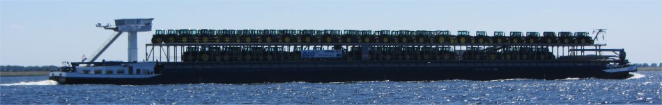 Giant Tractor Carrier |
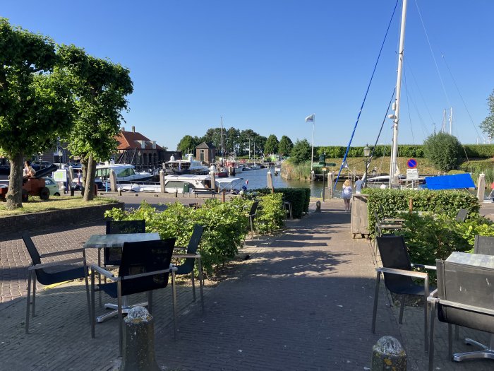
At last, we were out into the Hollands Diep, and we worked our way around to the Batterij Marina at Willemstad.
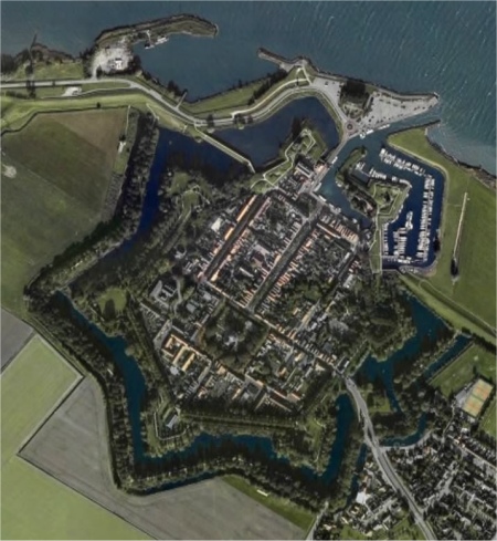 Aerial View of Willemstad |
In the midst of the sixteenth century, it was decided to create one of the last big polders in the north-east of the North Brabant province. At the end of 1564, the polder was complete and a town was founded in the extreme north-west corner of the polder. The surveyor, who fixed the ground plan, had consulted earlier ground plans which showed how towns in the provinces should be built at that time. However, for whatever reason, many towns were not built according to the original plan. Willemstad was an exception to the rule and was built to the plan as originally designed. This new town was at first named Ruigenhil (Rough Hill). The street map for Willemstad had remained the same. Since the town was strategically situated at the border of the provinces of Holland, Zeeland and North Brabant and at the confluence of three waterways, in 1583 it was decided to build walls around Ruigenhil. Fortification engineer, Abraham Andriesz, received orders to plan for the walls. The works were constructed line symmetrical around the old street plan. The existing access road was flanked by two bastions, and in the wall the land gate was built. Because of modern weapons, old medieval stone walls were no longer an effective protection for a town. The stone walls with towers were gradually replaced with lower earth walls, on which artillery could be placed. In the walls, at regular distances from each other, defensive works, the bastions, were built that were shoved to the outside so that the entire wall could be covered by canons and muskets. This arrangement of the bastions with five points and bended flanks was the most easy to defend. The new fortifications were completed by Adriaan Anthonisz. In the second stage, these fortifications were even expanded with two bastions outside the dykes, which were for protection of the harbour. The seven bastions were named after the seven provinces of the Dutch Republic: Groningen, Overijssel, Friesland, Utrecht, Zeeland, Holland and Gelderland. The net result was a town completely surrounded by a city wall in the shape of a 7-pointed star completely surrounded by two concentric "canals", one of the most attractive examples of the old Dutch system. In 1584, the town of Ruigenhil was granted to William of Orange and from then on was called Willemstad (William's Town). The town received city rights in 1585, but to me it was still a very small town.
 Oude Raadhuis |
 We Preferred the Bellevue Restaurant by the Town Harbour |
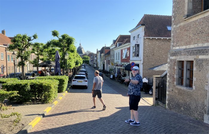 While the Belgian Chaps, Shown Above, Wanted to Savour the Delights of Voorstraat |
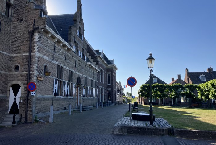
The duo headed off to town for the evening, and shortly afterwards we did likewise. Soon we were standing by the Oude Stadhuis (Old Town Hall), a majestic building, dominating the Binnenhaven area. During the Renaissance, relations within society changed. It was no longer the church being built in the town centre, but the town hall, which was symbolic for the shift from clerical to secular power. By coincidence we ran into the two Belgian sailors by the Oude Raadhuis. We intended to have a drink and dine in the Restaurant Bellevue overlooking the town harbour, but they thought they'd try the delights of Voorstraat, the main drag through the town. We wished each other luck for the evening.
The tall Dutch girl who took our drinks order in the Bellevue was keen to push us to order food straight away, but we bided our time. The waitress who served us was not Dutch, but spoke excellent English. The young fellow who eventually served our food spoke excellent English too, and charmed us with his broad grin. "I come from Slovakia," he told us. "I studied in an international school, which is where I learned most of my English." Since school he had taken on a multitude of jobs all over Europe, and was now working in Holland for no particular reason.
During the course of our meal, an incident must have taken place on the Hollands Diep just east of Willemstad. Four rescue helicopters, or perhaps the same one four times, attended the incident. We never did find the cause of that.
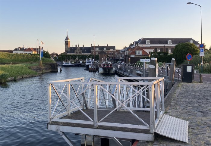 Town Harbour |
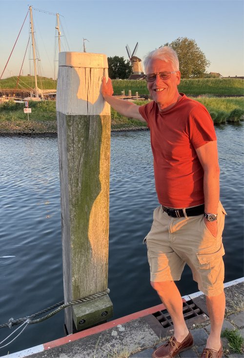 Rex Posing with D' Orangemolen in the Background |
We strolled back via a path along the Hollands Diep. A long river cruiser had pulled in for the night. I waved and called, "Hello," to a couple sipping drinks on their balcony, but they chose not to reply. Hmm…, something I said?
It had been a long day, so a whiskey nightcap, and glorious sleep.